-
07540 274737
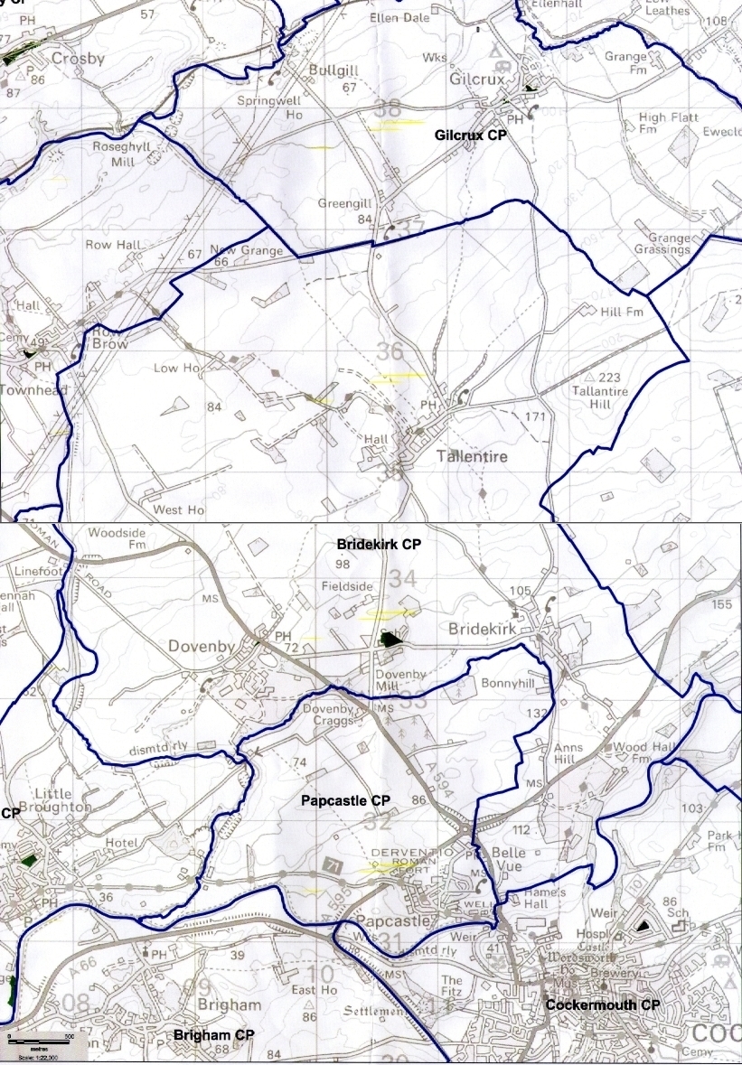
House Locations, Footpaths and Rights of Way
1) In 2001 Margaret and the late John Thorpe produced a footpaths map of the parish of Bridekirk. The link below will allow downloads
2) The Public Rights of Way for Cumberland are detailed on the mapping here - Public Roads and Rights of Way
3) Cockermouth Area Walks from John Harris's Walking in England - Click here
4) Mapped location of any house in Great Britain by inputting the address or name here
5) Locations of village housing are detailed via the links below:-
- The recent new housing developments in Tallentire have now been included on the plans.
- House locations in Dovenby House location plan - Dovenby
- House locations in Tallentire House location plan - Tallentire
- House locations in Bridekirk House location plan - Bridekirk
It should be noted that the mapped locations of houses system linked at 4) above could be useful in locating houses.
The map below indicates the exact limits of the parish